Mahabubabad District Overview
Mahabubabad District is one of the prominent districts of Telangana, known for its rich tribal culture, historical heritage, natural beauty, and agricultural significance. The district was formed on October 11, 2016, as part of the reorganization of districts in Telangana State. Surrounded by forests, waterfalls, temples, and fertile lands, Mahabubabad serves as an important administrative and economic center in the region. The district is home to diverse communities, preserving traditions while embracing modern development.
Population Overview
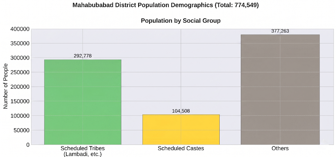
Mahabubabad District has a diverse population comprising rural and urban communities. Agriculture remains the primary occupation, while education, trade, and public services contribute significantly to the district's development.The district reflects a balanced demographic structure and preserves its rich cultural and tribal heritage while progressing toward modernization and sustainable growth.
7.75 Lakh+
Total Population
51%
Female Population
84%
Rural Population
16%
Urban Population
District Statistics
Key statistical information highlighting the demographic, administrative, and geographical significance of Mahabubabad District.
Area & Geographical Location
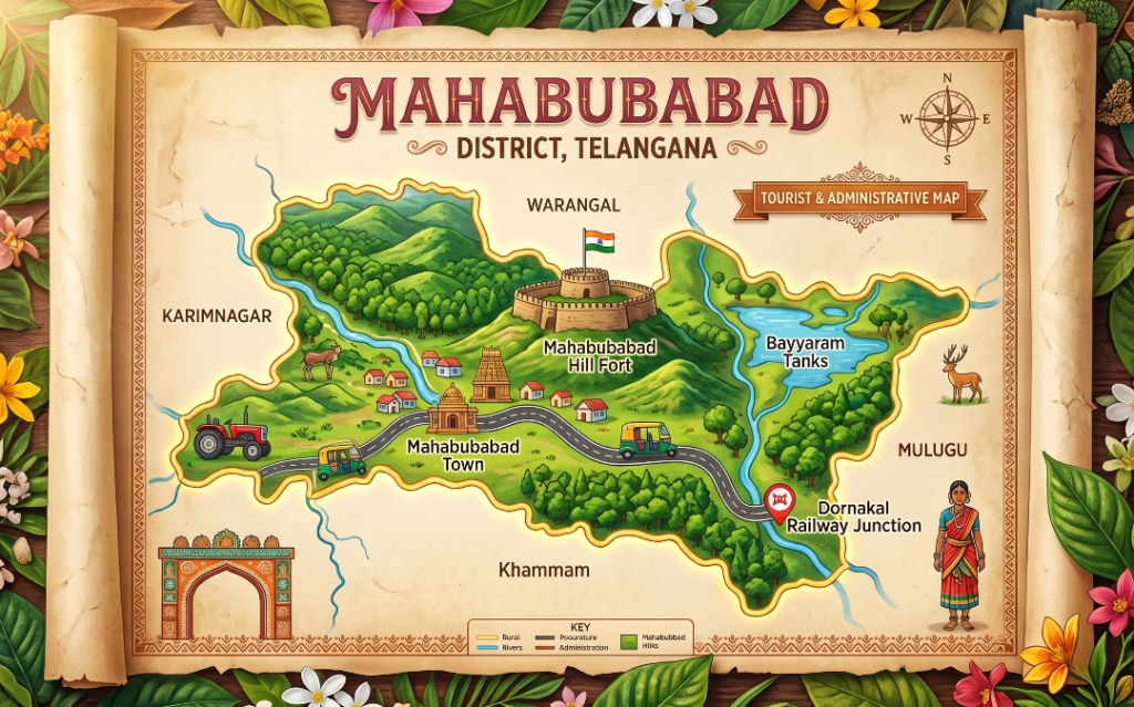
Mahabubabad District covers approximately 2,876 square kilometers and is located in the southeastern region of Telangana, surrounded by several neighboring districts and featuring diverse landscapes including forests, farmlands, streams, and tribal habitations. The district headquarters is Mahabubabad Town, which serves as the administrative, commercial, and transportation center. Officially carved out from the erstwhile Warangal district in October 2016 to improve governance, the district is divided into the Mahabubabad and Thorrur revenue divisions and features a unique demographic with a significant population of Scheduled Tribes, particularly the Lambada community living in traditional Thandas. Its predominantly agrarian economy thrives on fertile lands producing paddy, cotton, maize, chili, and high-quality mangoes, alongside minor forest produce that sustains local tribal livelihoods. Deeply rooted in vibrant cultural traditions.
2,876 km²
Total Area
Mahabubabad
District Headquarters
Forest Region
Rich Natural Resources
Telangana
State Location
👑 History of Mahabubabad District
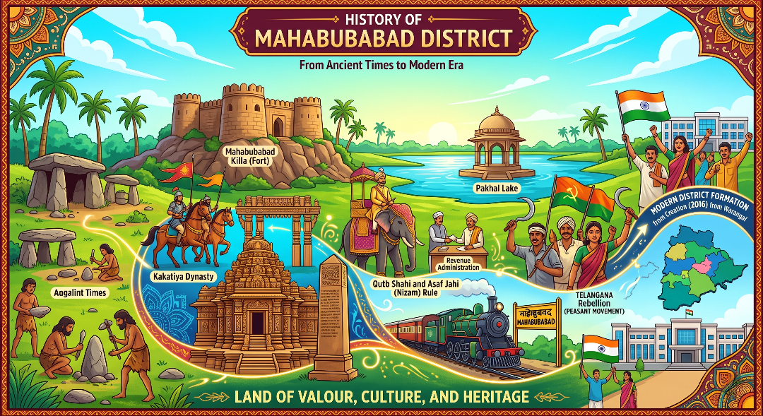
The historical trajectory of Mahabubabad District is deeply intertwined with the shifting empires of the Deccan, tracing its roots back to ancient human habitation within its dense woodlands. Originally known as Manukota—a Telugu name translating to "a fort made of trees" due to its heavily forested natural fortifications—the region served as a strategic territory from early times. During the 10th century, the historic Manukota and surrounding Koravi regions were conferred upon early Kakatiya chiefs by the Rashtrakutas. This laid the groundwork for significant development under the sovereign Kakatiya Dynasty (12th–14th century), which left an enduring architectural and engineering legacy. A prime testament to this era is the massive 13th-century Bayyaram Tank engineered under the direction of Mailamba, the sister of the great Kakatiya emperor Ganapatideva.
Origin of the Name
Mahabubabad District has a rich historical background that reflects the influence of various dynasties and rulers. Originally known as Manukota, the region later became known as Mahabubabad during the reign of the Nizams, preserving both its cultural heritage and historical significance.
👑 Nizam Rule
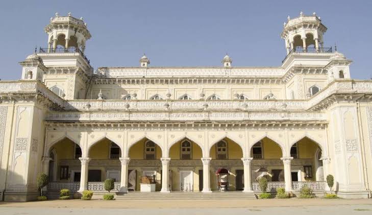
During the rule of the Hyderabad State under the Nizams, the town of Manukota was renamed Mahabubabad in honor of Mir Mahbub Ali Khan, the sixth Nizam of Hyderabad. The name reflects the administrative influence of the Nizam period across Telangana.
The Nizam administration introduced modern governance, transportation facilities, and revenue systems. Many public institutions, roads, and administrative practices established during this period contributed significantly to the district's development.
🏰 Kakatiya Rule
Before the Nizam era, the region formed an important part of the Kakatiya Kingdom. The district was popularly known as Manukota, meaning "Fort of Sand," owing to the presence of ancient mud forts and defensive structures.
The Kakatiyas encouraged agriculture, irrigation, temple architecture, and local administration. Their legacy is reflected through historical temples, ancient tanks, and the cultural traditions that continue to flourish in Mahabubabad District today.
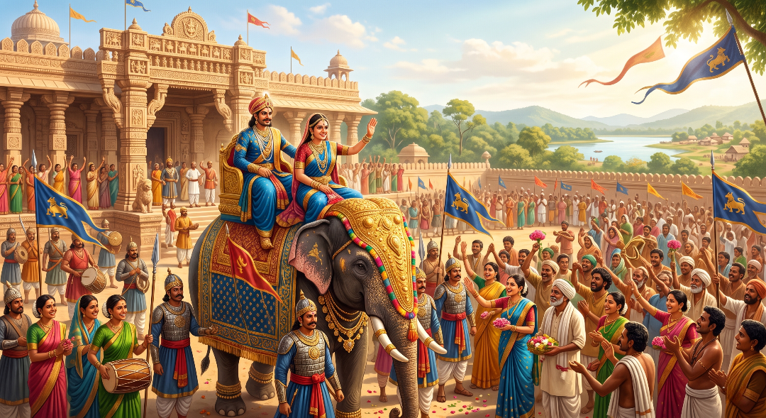
Formation of Mahabubabad District
On 11 October 2016, the Government of Telangana reorganized districts to improve administration. As part of this reorganization, Mahabubabad became a separate district with Mahabubabad Town as its headquarters.
The district now consists of 2 Revenue Divisions, 16 Mandals, and hundreds of villages serving a diverse population.
Historical Highlights
Discover the important historical milestones that shaped Mahabubabad District into the vibrant cultural and administrative region it is today.
Former Name
Manukota
Mahabubabad was originally known as Manukota, meaning "Fort of Mud." The name reflects the historical mud fort that once existed in the region.
Named After
Mir Mahbub Ali Khan
The district derives its present name from Mir Mahbub Ali Khan, the sixth Nizam of Hyderabad, who ruled from 1869 to 1911.
District Formation
11 October 2016
Mahabubabad became an independent district on 11 October 2016 during the reorganization of districts in Telangana.
Heritage
Tribal Culture & Natural Beauty
The district is renowned for its rich tribal traditions, dense forests, waterfalls, ancient temples, and vibrant cultural festivals.
District Revenue & Capital Income
Mahabubabad District’s economy is primarily based on agriculture, supported by forestry, trade, small-scale industries, and government services. The district has a predominantly rural economy, where farming and allied activities contribute significantly to household income and overall economic development.
In recent years, improvements in infrastructure, transportation, markets, and public services have enhanced business opportunities and strengthened the district’s financial growth.
Major Sources of Revenue
Mahabubabad District's economy is supported by agriculture, forests, trade, and industries. These sectors contribute significantly to employment, economic growth, and the district's overall revenue.
Agriculture
Agriculture is the backbone of Mahabubabad's economy. Major crops include paddy, cotton, maize, chilli, pulses, and oilseeds, providing livelihoods to a large section of the population.
Forest Produce
Dense forests provide bamboo, timber, medicinal plants, and other forest products that support tribal livelihoods and contribute to government revenue.
Trade & Commerce
Markets, retail businesses, transport services, and commercial establishments generate continuous economic activity throughout the district.
Industries & Services
Rice mills, cotton ginning units, education, healthcare, banking, construction, and public services strengthen the district's economy.